Shatterford - Trimpley Lane junction
Introduction
The photograph on this page of Shatterford - Trimpley Lane junction by Peter Whatley as part of the Geograph project.
The Geograph project started in 2005 with the aim of publishing, organising and preserving representative images for every square kilometre of Great Britain, Ireland and the Isle of Man.

There are currently over 7.5m images from over 14,400 individuals and you can help contribute to the project by visiting https://www.geograph.org.uk
Shatterford - Trimpley Lane junction
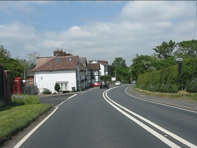
Image: © Peter Whatley Taken: 8 Jun 2013
The phone box on the left is noteworthy, both simply for surviving as long as 2013 and doing in unmodernised form.
Images are licensed for reuse under creativecommons.org/licenses/by-sa/2.0
Image Location
Latitude
52.42775
Longitude
-2.308355