Hollins Lane short cut
Introduction
The photograph on this page of Hollins Lane short cut by Humphrey Bolton as part of the Geograph project.
The Geograph project started in 2005 with the aim of publishing, organising and preserving representative images for every square kilometre of Great Britain, Ireland and the Isle of Man.

There are currently over 7.5m images from over 14,400 individuals and you can help contribute to the project by visiting https://www.geograph.org.uk
Hollins Lane short cut
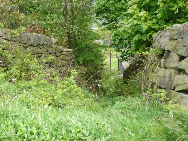
Image: © Humphrey Bolton Taken: 27 May 2013
The position of lettering for the road name on the 1850 six-inch map implies that it originally went down this steep narrow way, although by then a loop at an easier gradient had been made. It is Sowerby Bridge FP 62.
Images are licensed for reuse under creativecommons.org/licenses/by-sa/2.0
Image Location
Latitude
53.715827
Longitude
-1.956021