Sixpenny Handley: the lane to Bowerchalke
Introduction
The photograph on this page of Sixpenny Handley: the lane to Bowerchalke by Chris Downer as part of the Geograph project.
The Geograph project started in 2005 with the aim of publishing, organising and preserving representative images for every square kilometre of Great Britain, Ireland and the Isle of Man.

There are currently over 7.5m images from over 14,400 individuals and you can help contribute to the project by visiting https://www.geograph.org.uk
Sixpenny Handley: the lane to Bowerchalke
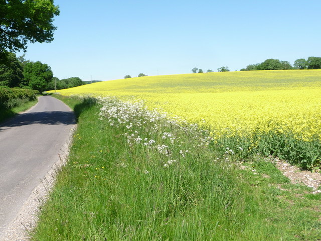
Image: © Chris Downer Taken: 8 Jun 2013
The lane along the bottom edge of Garston Down passes a large field full of rapeseed, very bright yellow on such a sunny afternoon.
Images are licensed for reuse under creativecommons.org/licenses/by-sa/2.0
Image Location
Latitude
50.963942
Longitude
-1.995392