Storrington Rise, Findon Valley
Introduction
The photograph on this page of Storrington Rise, Findon Valley by Simon Carey as part of the Geograph project.
The Geograph project started in 2005 with the aim of publishing, organising and preserving representative images for every square kilometre of Great Britain, Ireland and the Isle of Man.

There are currently over 7.5m images from over 14,400 individuals and you can help contribute to the project by visiting https://www.geograph.org.uk
Storrington Rise, Findon Valley
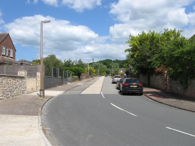
Image: © Simon Carey Taken: 2 Jun 2013
A residential road that links Maytree Avenue with Long Meadow. Findon Valley is the northern most suburb of Worthing parts of which were transferred from the parish of Findon in 1933. Previously a field called The Four Acres, Storrington Rise was laid out towards the end of the 1930s though building was not completed until after the Second World War.
Images are licensed for reuse under creativecommons.org/licenses/by-sa/2.0
Image Location
Latitude
50.857012
Longitude
-0.398761