Edith Gardens
Introduction
The photograph on this page of Edith Gardens by Marathon as part of the Geograph project.
The Geograph project started in 2005 with the aim of publishing, organising and preserving representative images for every square kilometre of Great Britain, Ireland and the Isle of Man.

There are currently over 7.5m images from over 14,400 individuals and you can help contribute to the project by visiting https://www.geograph.org.uk
Edith Gardens
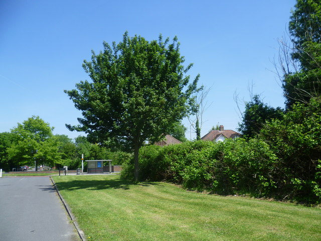
Image: © Marathon Taken: 5 Jun 2013
This looks back towards Raeburn Avenue which has a bus route.
Images are licensed for reuse under creativecommons.org/licenses/by-sa/2.0
Image Location
Latitude
51.389262
Longitude
-0.282086