Royal Well, Upper Colwall
Introduction
The photograph on this page of Royal Well, Upper Colwall by Deb Turnbull as part of the Geograph project.
The Geograph project started in 2005 with the aim of publishing, organising and preserving representative images for every square kilometre of Great Britain, Ireland and the Isle of Man.

There are currently over 7.5m images from over 14,400 individuals and you can help contribute to the project by visiting https://www.geograph.org.uk
Royal Well, Upper Colwall
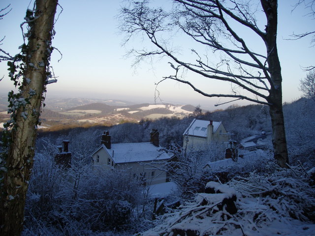
Image: © Deb Turnbull Taken: Unknown
This photo is only taken about 50 yards from the West Malvern B road but the Royal Well (http://www.geograph.org.uk/photo/5511 ) is well below the photographer's position. The nearest roof has its eaves at ground level.
Images are licensed for reuse under creativecommons.org/licenses/by-sa/2.0
Image Location
Latitude
52.095381
Longitude
-2.339922