The Ingrebourne Valley Nature Reserve
Introduction
The photograph on this page of The Ingrebourne Valley Nature Reserve by Des Blenkinsopp as part of the Geograph project.
The Geograph project started in 2005 with the aim of publishing, organising and preserving representative images for every square kilometre of Great Britain, Ireland and the Isle of Man.

There are currently over 7.5m images from over 14,400 individuals and you can help contribute to the project by visiting https://www.geograph.org.uk
The Ingrebourne Valley Nature Reserve
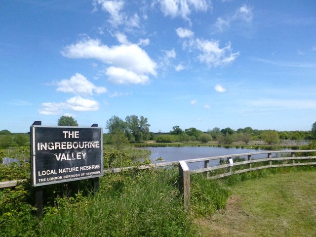
Image: © Des Blenkinsopp Taken: 4 Jun 2013
One of a line of ponds along the Ingrebourne river set aside for wild life. The London Loop path runs alongside.
Images are licensed for reuse under creativecommons.org/licenses/by-sa/2.0
Image Location
Latitude
51.532299
Longitude
0.213514