Overflow channel at Ponders End
Introduction
The photograph on this page of Overflow channel at Ponders End by Malc McDonald as part of the Geograph project.
The Geograph project started in 2005 with the aim of publishing, organising and preserving representative images for every square kilometre of Great Britain, Ireland and the Isle of Man.

There are currently over 7.5m images from over 14,400 individuals and you can help contribute to the project by visiting https://www.geograph.org.uk
Overflow channel at Ponders End
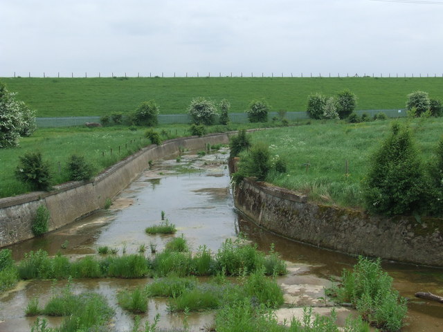
Image: © Malc McDonald Taken: 1 Jun 2013
This overflow channel has been built alongside the River Lee Navigation (itself a man-made waterway) at Ponders End.
Images are licensed for reuse under creativecommons.org/licenses/by-sa/2.0
Image Location
Latitude
51.645224
Longitude
-0.027147