Jacobstowe Bridge over River Okement
Introduction
The photograph on this page of Jacobstowe Bridge over River Okement by David Smith as part of the Geograph project.
The Geograph project started in 2005 with the aim of publishing, organising and preserving representative images for every square kilometre of Great Britain, Ireland and the Isle of Man.

There are currently over 7.5m images from over 14,400 individuals and you can help contribute to the project by visiting https://www.geograph.org.uk
Jacobstowe Bridge over River Okement
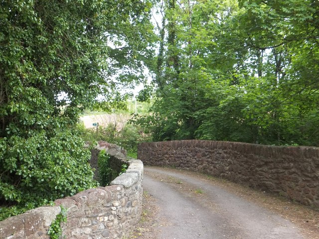
Image: © David Smith Taken: 5 Jun 2013
This was the original road east from Jacobstowe, taking a sharp right hand turn on the east side. It passes a former mill on the west bank
Images are licensed for reuse under creativecommons.org/licenses/by-sa/2.0
Image Location
Latitude
50.798332
Longitude
-3.999734