Lane leading to Malpas Ferry
Introduction
The photograph on this page of Lane leading to Malpas Ferry by Fred James as part of the Geograph project.
The Geograph project started in 2005 with the aim of publishing, organising and preserving representative images for every square kilometre of Great Britain, Ireland and the Isle of Man.

There are currently over 7.5m images from over 14,400 individuals and you can help contribute to the project by visiting https://www.geograph.org.uk
Lane leading to Malpas Ferry
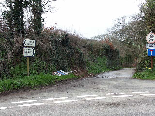
Image: © Fred James Taken: 28 Feb 2007
In my youth Malpas was always pronounced Mopus by us locals and was very often written as such. The admiralty charts used to show the stretch of water down river as Mopus Reach.
Images are licensed for reuse under creativecommons.org/licenses/by-sa/2.0
Image Location
Latitude
50.245375
Longitude
-5.009296