Church Street at the junction of Bovingdon Lane
Introduction
The photograph on this page of Church Street at the junction of Bovingdon Lane by David Howard as part of the Geograph project.
The Geograph project started in 2005 with the aim of publishing, organising and preserving representative images for every square kilometre of Great Britain, Ireland and the Isle of Man.

There are currently over 7.5m images from over 14,400 individuals and you can help contribute to the project by visiting https://www.geograph.org.uk
Church Street at the junction of Bovingdon Lane
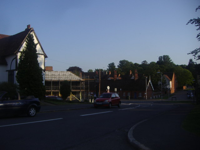
Image: © David Howard Taken: 6 Jun 2013
The single storey row of houses opposite look like standard almshouses, which often have a single room per unit plus a kitchen and bathroom.
Images are licensed for reuse under creativecommons.org/licenses/by-sa/2.0
Image Location
Latitude
51.901572
Longitude
0.553624