The north-western slopes of Bryn Arw
Introduction
The photograph on this page of The north-western slopes of Bryn Arw by Philip Halling as part of the Geograph project.
The Geograph project started in 2005 with the aim of publishing, organising and preserving representative images for every square kilometre of Great Britain, Ireland and the Isle of Man.

There are currently over 7.5m images from over 14,400 individuals and you can help contribute to the project by visiting https://www.geograph.org.uk
The north-western slopes of Bryn Arw
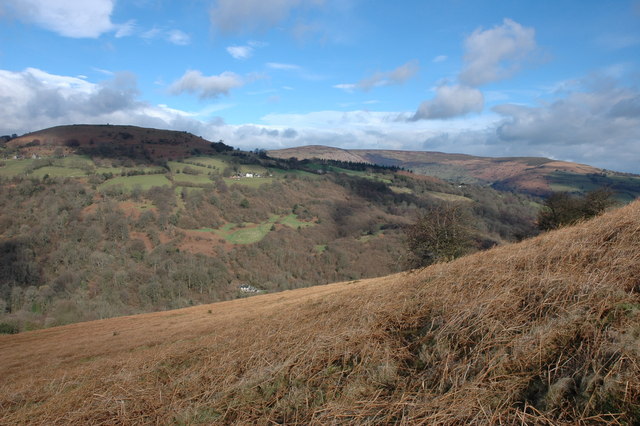
Image: © Philip Halling Taken: 25 Feb 2007
View to the north-east from the north-western slopes of Bryn Arw. The hill fort of Twyn-y-Gaer can be seen on the left (in shadow) and in the distance Hatterall Hill.
Images are licensed for reuse under creativecommons.org/licenses/by-sa/2.0
Image Location
Latitude
51.881402
Longitude
-3.022719