Castlehead churchyard: southern boundary
Introduction
The photograph on this page of Castlehead churchyard: southern boundary by Lairich Rig as part of the Geograph project.
The Geograph project started in 2005 with the aim of publishing, organising and preserving representative images for every square kilometre of Great Britain, Ireland and the Isle of Man.

There are currently over 7.5m images from over 14,400 individuals and you can help contribute to the project by visiting https://www.geograph.org.uk
Castlehead churchyard: southern boundary
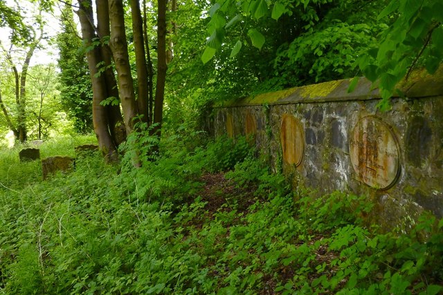
Image: © Lairich Rig Taken: 20 May 2013
Oval stones set in the wall name owners of adjacent plots. I have illustrated one of them: Image; the others follow the same pattern.
Images are licensed for reuse under creativecommons.org/licenses/by-sa/2.0
Image Location
Latitude
55.840746
Longitude
-4.43566