Halton Shields, on the B6318
Introduction
The photograph on this page of Halton Shields, on the B6318 by David Purchase as part of the Geograph project.
The Geograph project started in 2005 with the aim of publishing, organising and preserving representative images for every square kilometre of Great Britain, Ireland and the Isle of Man.

There are currently over 7.5m images from over 14,400 individuals and you can help contribute to the project by visiting https://www.geograph.org.uk
Halton Shields, on the B6318
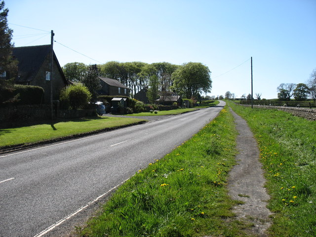
Image: © David Purchase Taken: 25 May 2013
At this point the Hadrian's Wall Path follows the footpath beside the road.
Images are licensed for reuse under creativecommons.org/licenses/by-sa/2.0
Image Location
Latitude
55.013121
Longitude
-1.975576