The End of the Mill Lade
Introduction
The photograph on this page of The End of the Mill Lade by Anne Burgess as part of the Geograph project.
The Geograph project started in 2005 with the aim of publishing, organising and preserving representative images for every square kilometre of Great Britain, Ireland and the Isle of Man.

There are currently over 7.5m images from over 14,400 individuals and you can help contribute to the project by visiting https://www.geograph.org.uk
The End of the Mill Lade
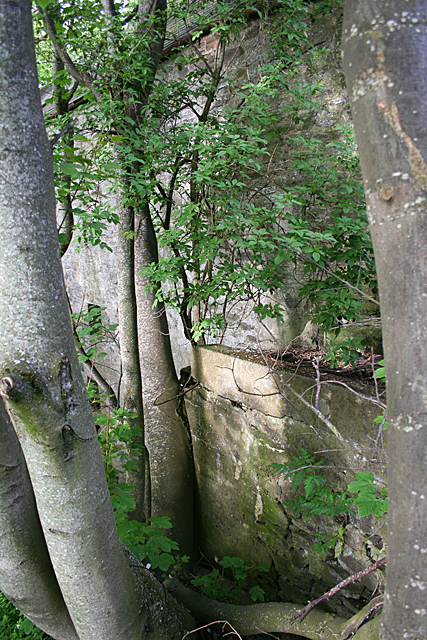
Image: © Anne Burgess Taken: 5 Jun 2013
The yellower stonework at lower right is the end of the lade, where the water fell on to the top of the mill wheel which was mounted on the greyer wall. It is all but impossible to photograph because of the trees, not to mention a heap of broken glass bottles which make scrambling around for a viewpoint just that little bit more 'interesting' than one might wish.
Images are licensed for reuse under creativecommons.org/licenses/by-sa/2.0
Image Location
Latitude
57.668012
Longitude
-2.968877