Hooley Bridge: River Roch looking downstream
Introduction
The photograph on this page of Hooley Bridge: River Roch looking downstream by Dr Neil Clifton as part of the Geograph project.
The Geograph project started in 2005 with the aim of publishing, organising and preserving representative images for every square kilometre of Great Britain, Ireland and the Isle of Man.

There are currently over 7.5m images from over 14,400 individuals and you can help contribute to the project by visiting https://www.geograph.org.uk
Hooley Bridge: River Roch looking downstream
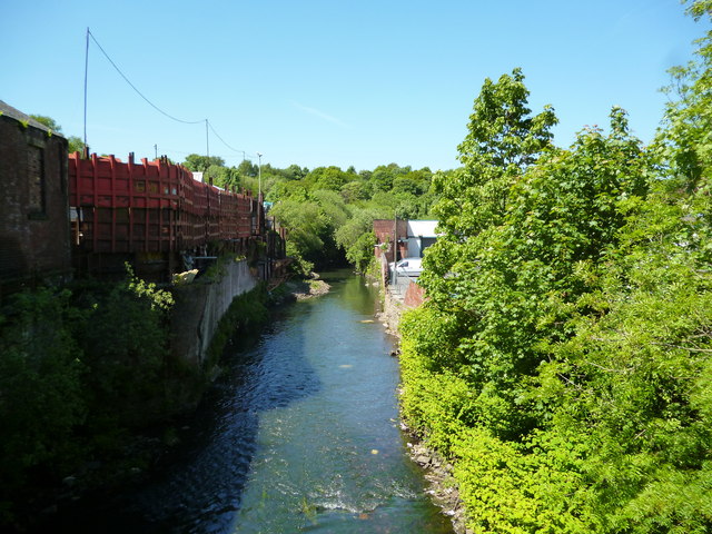
Image: © Dr Neil Clifton Taken: 4 Jun 2013
This river was at one time one of the most polluted rivers in Britain, but now has been cleaned up to the extent that fish of several species have returned.
Images are licensed for reuse under creativecommons.org/licenses/by-sa/2.0
Image Location
Latitude
53.60058
Longitude
-2.221941