Garden Road, Bromley
Introduction
The photograph on this page of Garden Road, Bromley by Derek Harper as part of the Geograph project.
The Geograph project started in 2005 with the aim of publishing, organising and preserving representative images for every square kilometre of Great Britain, Ireland and the Isle of Man.

There are currently over 7.5m images from over 14,400 individuals and you can help contribute to the project by visiting https://www.geograph.org.uk
Garden Road, Bromley
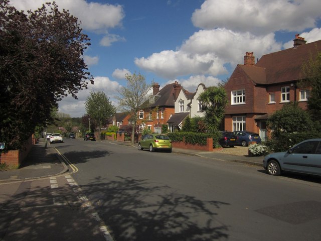
Image: © Derek Harper Taken: 9 May 2013
At the junction with Lawn Close. Sizable detached houses northeast of Sundridge Park station.
Images are licensed for reuse under creativecommons.org/licenses/by-sa/2.0
Image Location
Latitude
51.415661
Longitude
0.024506