Bourne Close, Winterbourne
Introduction
The photograph on this page of Bourne Close, Winterbourne by Dr Duncan Pepper as part of the Geograph project.
The Geograph project started in 2005 with the aim of publishing, organising and preserving representative images for every square kilometre of Great Britain, Ireland and the Isle of Man.

There are currently over 7.5m images from over 14,400 individuals and you can help contribute to the project by visiting https://www.geograph.org.uk
Bourne Close, Winterbourne
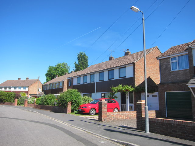
Image: © Dr Duncan Pepper Taken: 4 Jun 2013
A classic post war late 1950's housing estate, in this case, a cul-de-sac. Probably cost around £1000 when new.
Images are licensed for reuse under creativecommons.org/licenses/by-sa/2.0
Image Location
Latitude
51.530356
Longitude
-2.499026