Dobb's Weir Road near Hoddesdon
Introduction
The photograph on this page of Dobb's Weir Road near Hoddesdon by Malc McDonald as part of the Geograph project.
The Geograph project started in 2005 with the aim of publishing, organising and preserving representative images for every square kilometre of Great Britain, Ireland and the Isle of Man.

There are currently over 7.5m images from over 14,400 individuals and you can help contribute to the project by visiting https://www.geograph.org.uk
Dobb's Weir Road near Hoddesdon
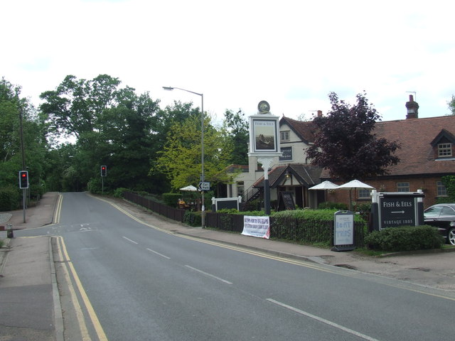
Image: © Malc McDonald Taken: 1 Jun 2013
The bridge over the River Lee Navigation is too narrow for vehicles to pass, therefore it is controlled by traffic lights. At the bridge, the road crosses the county boundary from Essex into Hertfordshire.
Images are licensed for reuse under creativecommons.org/licenses/by-sa/2.0
Image Location
Latitude
51.754814
Longitude
0.006314