River Lea at Rye House near Hoddesdon
Introduction
The photograph on this page of River Lea at Rye House near Hoddesdon by Malc McDonald as part of the Geograph project.
The Geograph project started in 2005 with the aim of publishing, organising and preserving representative images for every square kilometre of Great Britain, Ireland and the Isle of Man.

There are currently over 7.5m images from over 14,400 individuals and you can help contribute to the project by visiting https://www.geograph.org.uk
River Lea at Rye House near Hoddesdon
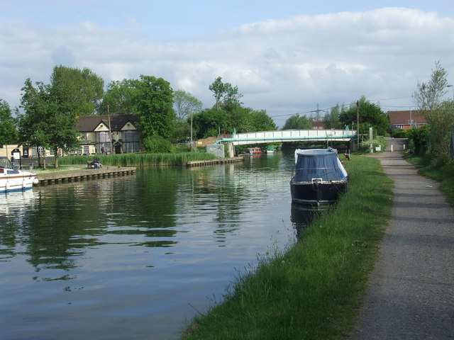
Image: © Malc McDonald Taken: 1 Jun 2013
The River Lea (or Lee) at Rye House, near Hoddesdon. The towpath is a shared path for cycling and walking.
Images are licensed for reuse under creativecommons.org/licenses/by-sa/2.0
Image Location
Latitude
51.770112
Longitude
0.005688