Birkby Hall
Introduction
The photograph on this page of Birkby Hall by Paul Glazzard as part of the Geograph project.
The Geograph project started in 2005 with the aim of publishing, organising and preserving representative images for every square kilometre of Great Britain, Ireland and the Isle of Man.

There are currently over 7.5m images from over 14,400 individuals and you can help contribute to the project by visiting https://www.geograph.org.uk
Birkby Hall
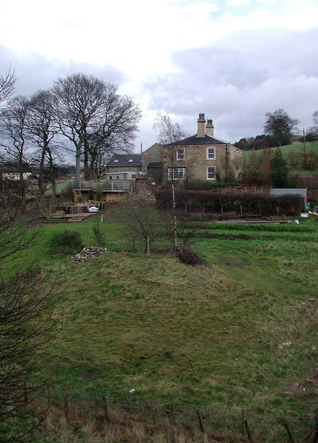
Image: © Paul Glazzard Taken: 25 Feb 2007
On the north side of Birkby Lane east of Bailiff Bridge, looking east-northeast from the top of the disused railway bridge over Birkby Lane. The O/S 1:25000 scale map shows a disused shaft somewhere in the field this side of the house.
Images are licensed for reuse under creativecommons.org/licenses/by-sa/2.0
Image Location
Latitude
53.722898
Longitude
-1.771429