Rough grazing
Introduction
The photograph on this page of Rough grazing by Bob Forrest as part of the Geograph project.
The Geograph project started in 2005 with the aim of publishing, organising and preserving representative images for every square kilometre of Great Britain, Ireland and the Isle of Man.

There are currently over 7.5m images from over 14,400 individuals and you can help contribute to the project by visiting https://www.geograph.org.uk
Rough grazing
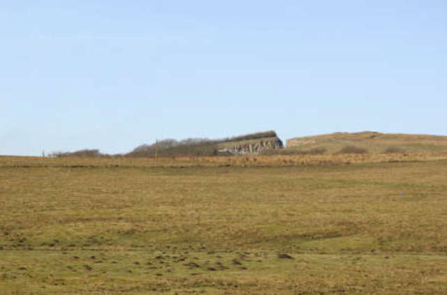
Image: © Bob Forrest Taken: 26 Feb 2007
Looking across NS5827 from the Auchenlongford farm road end towards the scar being left in the landscape by the quarry workings on Tincorn Hill. Tincorn Hill results from an intrusion of igneous rock which provides a very durable material for the construction of roads. The area is mainly covered in rough grazing for sheep with patches of improved grassland which in the summer may also be grazed by beef cattle.
Images are licensed for reuse under creativecommons.org/licenses/by-sa/2.0
Image Location
Latitude
55.519683
Longitude
-4.238343