The road to Tregonning
Introduction
The photograph on this page of The road to Tregonning by Rod Allday as part of the Geograph project.
The Geograph project started in 2005 with the aim of publishing, organising and preserving representative images for every square kilometre of Great Britain, Ireland and the Isle of Man.

There are currently over 7.5m images from over 14,400 individuals and you can help contribute to the project by visiting https://www.geograph.org.uk
The road to Tregonning
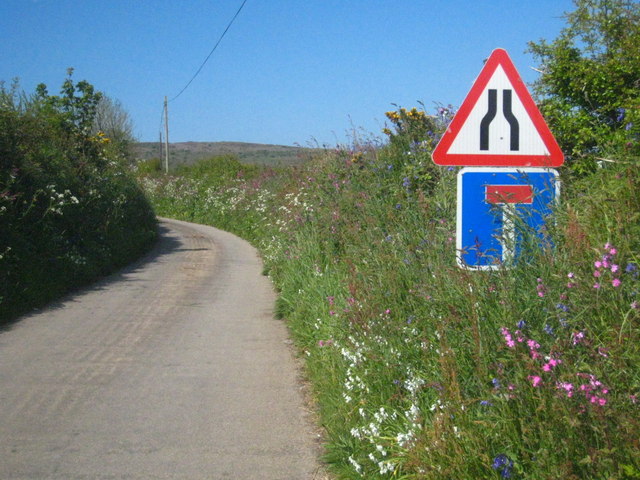
Image: © Rod Allday Taken: 30 May 2013
A dead-end road leading ultinately to Tregonning Farm but also servicing several other farmstesda and settlements.
Images are licensed for reuse under creativecommons.org/licenses/by-sa/2.0
Image Location
Latitude
50.126359
Longitude
-5.341302