Thurmaston Lane
Introduction
The photograph on this page of Thurmaston Lane by Andrew Tatlow as part of the Geograph project.
The Geograph project started in 2005 with the aim of publishing, organising and preserving representative images for every square kilometre of Great Britain, Ireland and the Isle of Man.

There are currently over 7.5m images from over 14,400 individuals and you can help contribute to the project by visiting https://www.geograph.org.uk
Thurmaston Lane
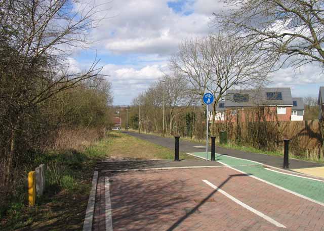
Image: © Andrew Tatlow Taken: 18 Apr 2013
Thurmaston Lane was truncated when the Hamilton Way dual carriageway was built as part of the Leicester Ring Road.
Images are licensed for reuse under creativecommons.org/licenses/by-sa/2.0
Image Location
Latitude
52.655146
Longitude
-1.076461