A4117 east of Stoneylane
Introduction
The photograph on this page of A4117 east of Stoneylane by David Smith as part of the Geograph project.
The Geograph project started in 2005 with the aim of publishing, organising and preserving representative images for every square kilometre of Great Britain, Ireland and the Isle of Man.

There are currently over 7.5m images from over 14,400 individuals and you can help contribute to the project by visiting https://www.geograph.org.uk
A4117 east of Stoneylane
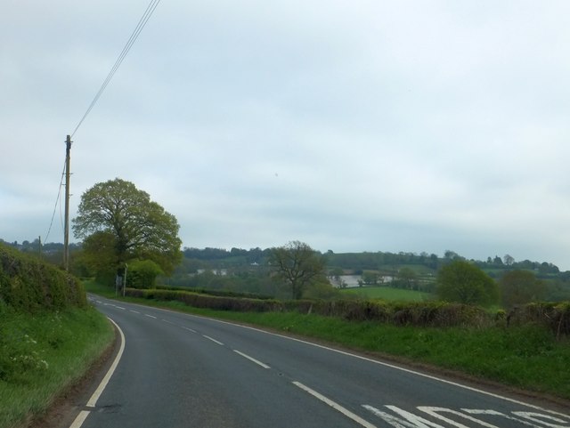
Image: © David Smith Taken: 20 May 2013
There are "Slow" signs painted on the road, and a vehicle-activated warning sign, in an attempt to make the crossroads at Stoneylane a little safer. In the distance are fields covered with plastic or fleece
Images are licensed for reuse under creativecommons.org/licenses/by-sa/2.0
Image Location
Latitude
52.381793
Longitude
-2.646528