Goodyers Farm, Rock
Introduction
The photograph on this page of Goodyers Farm, Rock by Simon Carey as part of the Geograph project.
The Geograph project started in 2005 with the aim of publishing, organising and preserving representative images for every square kilometre of Great Britain, Ireland and the Isle of Man.

There are currently over 7.5m images from over 14,400 individuals and you can help contribute to the project by visiting https://www.geograph.org.uk
Goodyers Farm, Rock
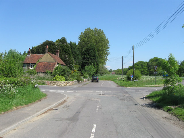
Image: © Simon Carey Taken: 27 May 2013
Built in 1773 at the old crossroads containing London Road, Rock Road and The Hollow. The current A24 bypasses it to the east. The building was formerly known as Rock Farm.
Images are licensed for reuse under creativecommons.org/licenses/by-sa/2.0
Image Location


Leaflet Map data © OpenStreetMap
Latitude
50.914992
Longitude
-0.403458