View along the Royal Military Canal at The Roughs
Introduction
The photograph on this page of View along the Royal Military Canal at The Roughs by Tim Heaton as part of the Geograph project.
The Geograph project started in 2005 with the aim of publishing, organising and preserving representative images for every square kilometre of Great Britain, Ireland and the Isle of Man.

There are currently over 7.5m images from over 14,400 individuals and you can help contribute to the project by visiting https://www.geograph.org.uk
View along the Royal Military Canal at The Roughs
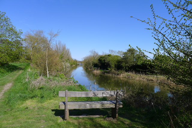
Image: © Tim Heaton Taken: 30 Apr 2013
On one of the many Z bends of the canal, constructed so that a gun emplacement at this position could have a clear shot at Napoleonic invaders down the length of the canal. The Palmarsh footbridge is in the distance.
Images are licensed for reuse under creativecommons.org/licenses/by-sa/2.0
Image Location
Latitude
51.065725
Longitude
1.051908