Way to Pond Farm and Pollards Farm
Introduction
The photograph on this page of Way to Pond Farm and Pollards Farm by Peter Holmes as part of the Geograph project.
The Geograph project started in 2005 with the aim of publishing, organising and preserving representative images for every square kilometre of Great Britain, Ireland and the Isle of Man.

There are currently over 7.5m images from over 14,400 individuals and you can help contribute to the project by visiting https://www.geograph.org.uk
Way to Pond Farm and Pollards Farm
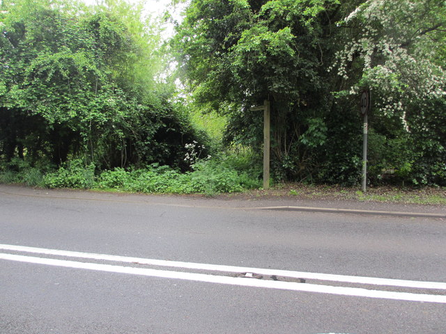
Image: © Peter Holmes Taken: 30 May 2013
Public footpaths 254 and 232 to Pond Farm and Pollards Farm respectively viewed from B2029 Godstone Road. Perhaps a little clearing of vegetation is needed here.
Images are licensed for reuse under creativecommons.org/licenses/by-sa/2.0
Image Location
Latitude
51.178301
Longitude
-0.026114