Torfaen/Newport boundary stone, Malpas Road
Introduction
The photograph on this page of Torfaen/Newport boundary stone, Malpas Road by Jaggery as part of the Geograph project.
The Geograph project started in 2005 with the aim of publishing, organising and preserving representative images for every square kilometre of Great Britain, Ireland and the Isle of Man.

There are currently over 7.5m images from over 14,400 individuals and you can help contribute to the project by visiting https://www.geograph.org.uk
Torfaen/Newport boundary stone, Malpas Road
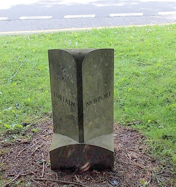
Image: © Jaggery Taken: 30 May 2013
The stone was installed in 1996, the year in which Torfaen became a county borough. It is located at the western edge of the A4051 Malpas Road, near the accurately-placed Torfaen http://www.geograph.org.uk/photo/1444521 and Newport http://www.geograph.org.uk/photo/1594757 boundary signs.
Images are licensed for reuse under creativecommons.org/licenses/by-sa/2.0
Image Location
Latitude
51.620574
Longitude
-3.010921