Dried-up pond, Rogiet
Introduction
The photograph on this page of Dried-up pond, Rogiet by Jaggery as part of the Geograph project.
The Geograph project started in 2005 with the aim of publishing, organising and preserving representative images for every square kilometre of Great Britain, Ireland and the Isle of Man.

There are currently over 7.5m images from over 14,400 individuals and you can help contribute to the project by visiting https://www.geograph.org.uk
Dried-up pond, Rogiet
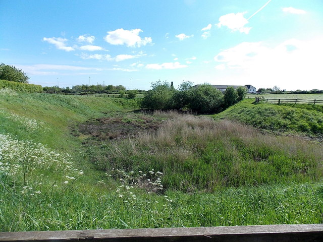
Image: © Jaggery Taken: 22 May 2013
This late May view shows a fenced-off depression at the western edge of the village. A notice http://www.geograph.org.uk/photo/3486097 at the edge of the fence warns of deep water, so this appears to be a seasonal or temporary pond.
Images are licensed for reuse under creativecommons.org/licenses/by-sa/2.0
Image Location
Latitude
51.585063
Longitude
-2.787135