View up the valley beside Burnt Gorse
Introduction
The photograph on this page of View up the valley beside Burnt Gorse by Christopher Hilton as part of the Geograph project.
The Geograph project started in 2005 with the aim of publishing, organising and preserving representative images for every square kilometre of Great Britain, Ireland and the Isle of Man.

There are currently over 7.5m images from over 14,400 individuals and you can help contribute to the project by visiting https://www.geograph.org.uk
View up the valley beside Burnt Gorse
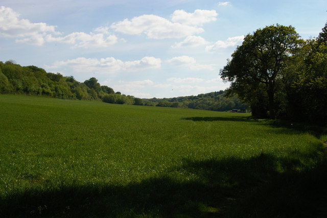
Image: © Christopher Hilton Taken: 26 May 2013
This long dry valley runs between Cudham to the left and Downe to the right.
Images are licensed for reuse under creativecommons.org/licenses/by-sa/2.0
Image Location
Latitude
51.33529
Longitude
0.069345