Heol Pilipala, Rhoose
Introduction
The photograph on this page of Heol Pilipala, Rhoose by Jaggery as part of the Geograph project.
The Geograph project started in 2005 with the aim of publishing, organising and preserving representative images for every square kilometre of Great Britain, Ireland and the Isle of Man.

There are currently over 7.5m images from over 14,400 individuals and you can help contribute to the project by visiting https://www.geograph.org.uk
Heol Pilipala, Rhoose
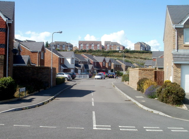
Image: © Jaggery Taken: 11 Jun 2011
Viewed from Bryn y Gloyn. Heol Pilipala is at the western edge of a recent development of several hundred houses located near Rhoose Point. The distant houses on higher ground are in Trem Echni.
Images are licensed for reuse under creativecommons.org/licenses/by-sa/2.0
Image Location
Latitude
51.384096
Longitude
-3.34168