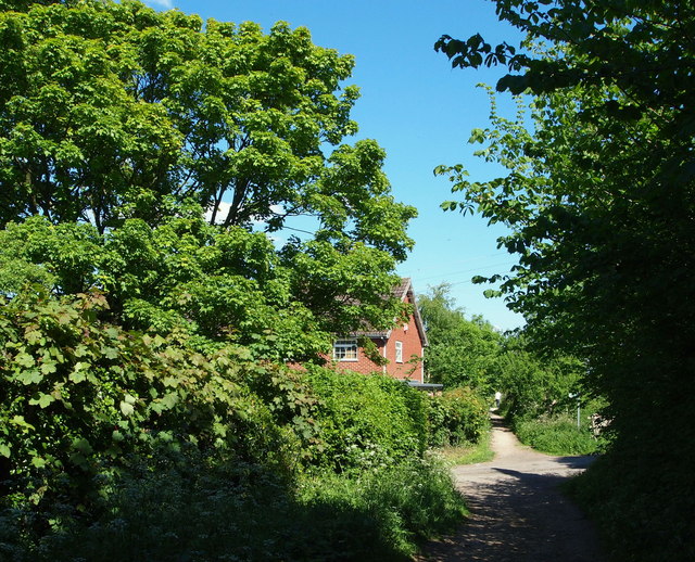
Calverton NG14, Notts.
Introduction
The photograph on this page of Calverton NG14, Notts. by David Hallam-Jones as part of the Geograph project.
The Geograph project started in 2005 with the aim of publishing, organising and preserving representative images for every square kilometre of Great Britain, Ireland and the Isle of Man.
There are currently over 7.5m images from over 14,400 individuals and you can help contribute to the project by visiting https://www.geograph.org.uk

Image: © David Hallam-Jones Taken: 26 May 2013
Although difficult to tell because of the overgrown vegetation, this wall of vegetation on the left covers the remains of the boundary wall of a plot of land that was home to the Roe-ite chapel once used by John Roe, the founder of a local religious sect and his followers. The house at the crossroads of the tracks ahead is on Woods Lane, a road that is used by traffic coming from Main Road to the village cricket club ground, behind the photographer.

