A cattle grid just before the A713
Introduction
The photograph on this page of A cattle grid just before the A713 by Ann Cook as part of the Geograph project.
The Geograph project started in 2005 with the aim of publishing, organising and preserving representative images for every square kilometre of Great Britain, Ireland and the Isle of Man.

There are currently over 7.5m images from over 14,400 individuals and you can help contribute to the project by visiting https://www.geograph.org.uk
A cattle grid just before the A713
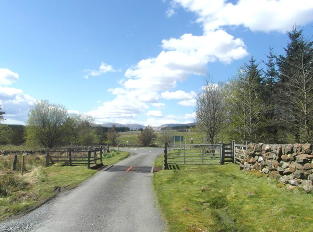
Image: © Ann Cook Taken: 17 May 2013
This is where the unclassified road from Kendoon Loch joins the A713.
Images are licensed for reuse under creativecommons.org/licenses/by-sa/2.0
Image Location
Latitude
55.183169
Longitude
-4.213776