The Drive
Introduction
The photograph on this page of The Drive by Hugh Craddock as part of the Geograph project.
The Geograph project started in 2005 with the aim of publishing, organising and preserving representative images for every square kilometre of Great Britain, Ireland and the Isle of Man.

There are currently over 7.5m images from over 14,400 individuals and you can help contribute to the project by visiting https://www.geograph.org.uk
The Drive
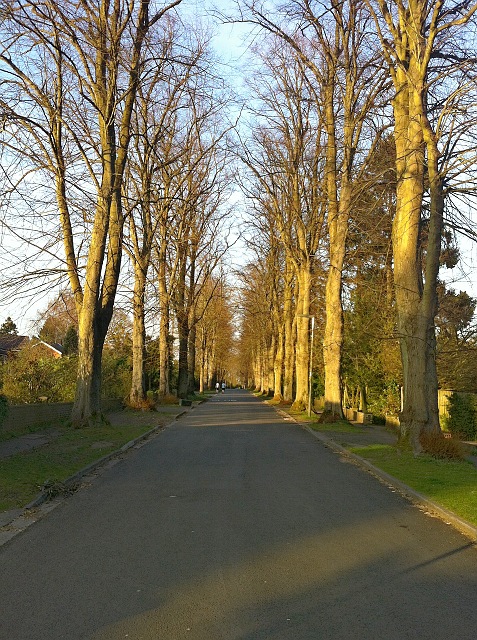
Image: © Hugh Craddock Taken: 23 Apr 2013
The Drive is the former drive to Nork Park from Banstead and the Sutton to Reigate turnpike (now the Brighton Road): hence the fine avenue of trees. This part of the drive was itself laid out on the alignment of Church Lane, which connected Banstead village to Great Burgh, and which remains as public bridleway Banstead 23.
Images are licensed for reuse under creativecommons.org/licenses/by-sa/2.0
Image Location
Latitude
51.316181
Longitude
-0.217803