Chanctonbury Close
Introduction
The photograph on this page of Chanctonbury Close by Simon Carey as part of the Geograph project.
The Geograph project started in 2005 with the aim of publishing, organising and preserving representative images for every square kilometre of Great Britain, Ireland and the Isle of Man.

There are currently over 7.5m images from over 14,400 individuals and you can help contribute to the project by visiting https://www.geograph.org.uk
Chanctonbury Close
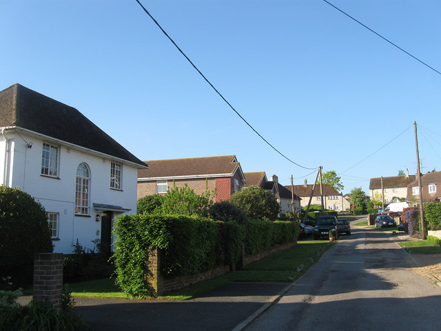
Image: © Simon Carey Taken: 27 May 2013
The southern end of the cul de sac was originally built as a council estate at the end of the 1940s. The close lies off School Lane.
Images are licensed for reuse under creativecommons.org/licenses/by-sa/2.0
Image Location
Latitude
50.90479
Longitude
-0.407078