Brightling Road south of Brightling Hall
Introduction
The photograph on this page of Brightling Road south of Brightling Hall by Stuart Logan as part of the Geograph project.
The Geograph project started in 2005 with the aim of publishing, organising and preserving representative images for every square kilometre of Great Britain, Ireland and the Isle of Man.

There are currently over 7.5m images from over 14,400 individuals and you can help contribute to the project by visiting https://www.geograph.org.uk
Brightling Road south of Brightling Hall
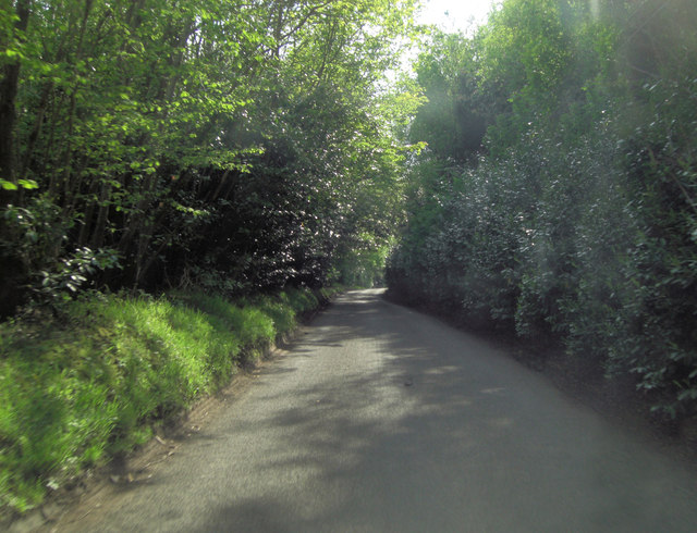
Image: © Stuart Logan Taken: 19 May 2013
This sylvan lane is running through fairly dense chestnut coppice, interlaced with Rhododendron ponticum, but here the dark, shiny foliage is provided by Prunus lusitanica (Portugal laurel).
Images are licensed for reuse under creativecommons.org/licenses/by-sa/2.0
Image Location


Leaflet Map data © OpenStreetMap
Latitude
50.976701
Longitude
0.434582