Track around Nork Park
Introduction
The photograph on this page of Track around Nork Park by Hugh Craddock as part of the Geograph project.
The Geograph project started in 2005 with the aim of publishing, organising and preserving representative images for every square kilometre of Great Britain, Ireland and the Isle of Man.

There are currently over 7.5m images from over 14,400 individuals and you can help contribute to the project by visiting https://www.geograph.org.uk
Track around Nork Park
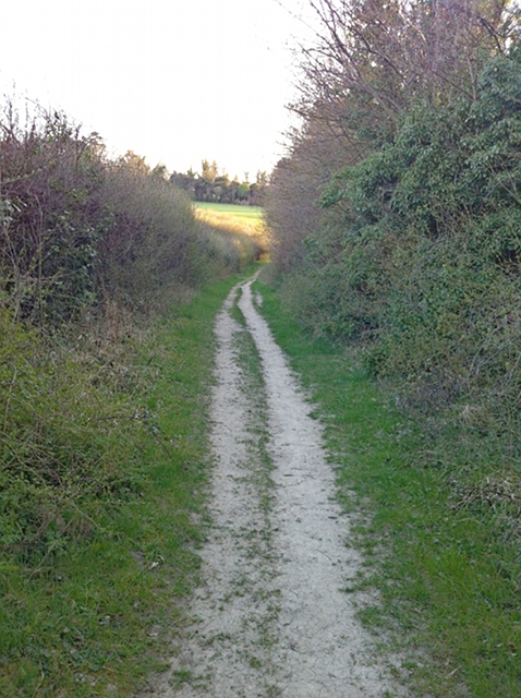
Image: © Hugh Craddock Taken: 23 Apr 2013
A hedged track around the former Nork Park. Nork Park is part of an old estate, which was bought by the old Banstead Council in 1947. This track may look like an old green lane, but like others nearby, it appears to have been planted as an amenity feature.
Images are licensed for reuse under creativecommons.org/licenses/by-sa/2.0
Image Location
Latitude
51.317949
Longitude
-0.227637