Woodhouse Lane, Rastrick
Introduction
The photograph on this page of Woodhouse Lane, Rastrick by Humphrey Bolton as part of the Geograph project.
The Geograph project started in 2005 with the aim of publishing, organising and preserving representative images for every square kilometre of Great Britain, Ireland and the Isle of Man.

There are currently over 7.5m images from over 14,400 individuals and you can help contribute to the project by visiting https://www.geograph.org.uk
Woodhouse Lane, Rastrick
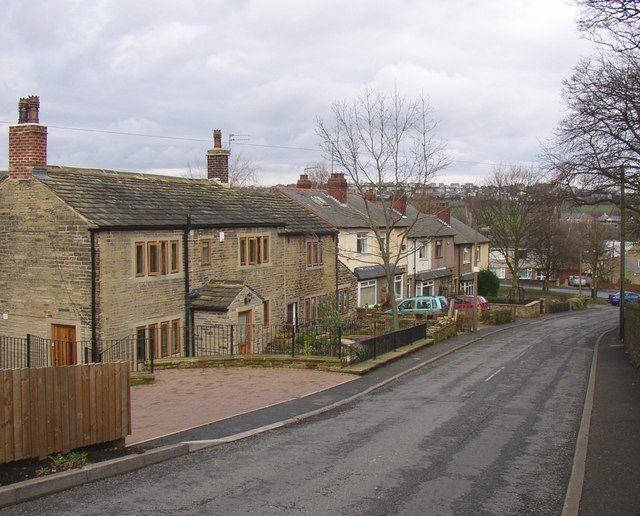
Image: © Humphrey Bolton Taken: 25 Feb 2007
Looking down towards the Stratton Road junction. The old houses are on the township map of 1824.
Images are licensed for reuse under creativecommons.org/licenses/by-sa/2.0
Image Location
Latitude
53.693327
Longitude
-1.771286