Derelict Croft, Uidh, Vatersay
Introduction
The photograph on this page of Derelict Croft, Uidh, Vatersay by paddy heron as part of the Geograph project.
The Geograph project started in 2005 with the aim of publishing, organising and preserving representative images for every square kilometre of Great Britain, Ireland and the Isle of Man.

There are currently over 7.5m images from over 14,400 individuals and you can help contribute to the project by visiting https://www.geograph.org.uk
Derelict Croft, Uidh, Vatersay
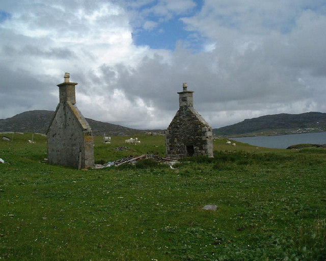
Image: © paddy heron Taken: Unknown
Photograph to show this 'economy' method of house construction, whereby only the gables are of masonry, the walls & roof having been built of wood and corrugated iron.
Images are licensed for reuse under creativecommons.org/licenses/by-sa/2.0
Image Location


Leaflet Map data © OpenStreetMap
Latitude
56.933748
Longitude
-7.506428