Castle Camps: a bend in Church Lane
Introduction
The photograph on this page of Castle Camps: a bend in Church Lane by John Sutton as part of the Geograph project.
The Geograph project started in 2005 with the aim of publishing, organising and preserving representative images for every square kilometre of Great Britain, Ireland and the Isle of Man.

There are currently over 7.5m images from over 14,400 individuals and you can help contribute to the project by visiting https://www.geograph.org.uk
Castle Camps: a bend in Church Lane
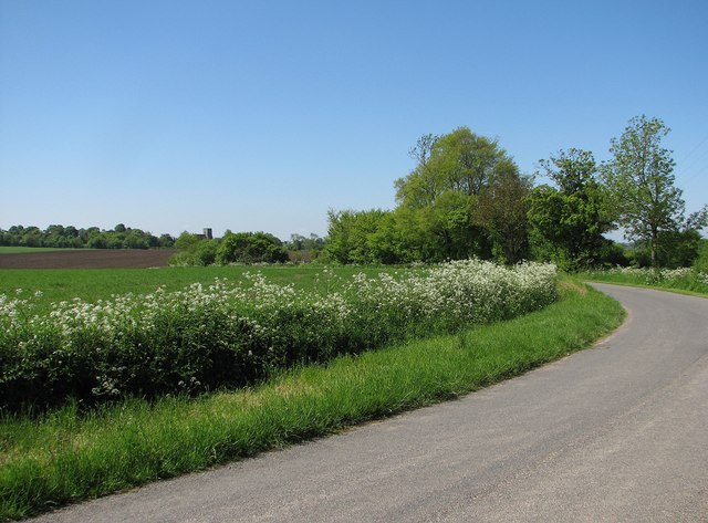
Image: © John Sutton Taken: 27 May 2013
The church is on the skyline - a good way from the village. Image] is the view towards the camera position.
Images are licensed for reuse under creativecommons.org/licenses/by-sa/2.0
Image Location
Latitude
52.062336
Longitude
0.374434