Disused mine shafts in the valley of Nookton Burn
Introduction
The photograph on this page of Disused mine shafts in the valley of Nookton Burn by Mike Quinn as part of the Geograph project.
The Geograph project started in 2005 with the aim of publishing, organising and preserving representative images for every square kilometre of Great Britain, Ireland and the Isle of Man.

There are currently over 7.5m images from over 14,400 individuals and you can help contribute to the project by visiting https://www.geograph.org.uk
Disused mine shafts in the valley of Nookton Burn
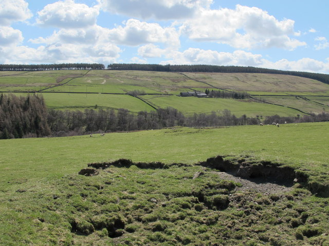
Image: © Mike Quinn Taken: 30 Apr 2013
Looking across the valley towards Wagtail. The line of old mine shafts can be clearly seen in the satellite image http://maps.google.co.uk/maps?q=Blanchland&hl=en&ll=54.831916,-2.099397&spn=0.004202,0.009441&sll=53.800651,-4.064941&sspn=35.716186,77.34375&oq=blanchland&hnear=Blanchland,+Northumberland,+United+Kingdom&t=h&z=17.
Images are licensed for reuse under creativecommons.org/licenses/by-sa/2.0
Image Location
Latitude
54.828238
Longitude
-2.095231