Flood sediment
Introduction
The photograph on this page of Flood sediment by MDS as part of the Geograph project.
The Geograph project started in 2005 with the aim of publishing, organising and preserving representative images for every square kilometre of Great Britain, Ireland and the Isle of Man.

There are currently over 7.5m images from over 14,400 individuals and you can help contribute to the project by visiting https://www.geograph.org.uk
Flood sediment
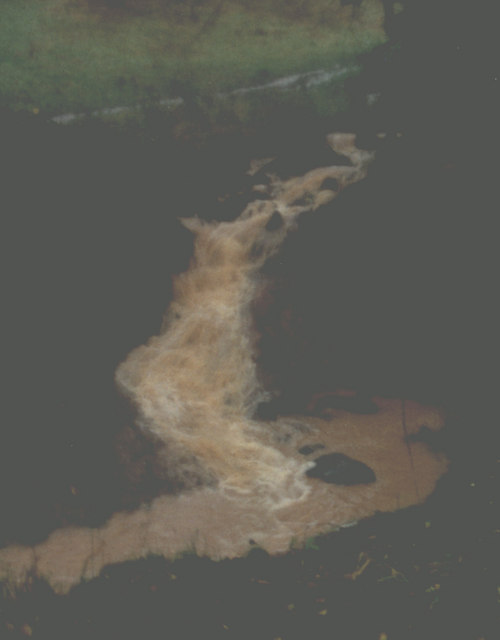
Image: © MDS Taken: Unknown
This is the Flood of the Great Storm on the base of the Spring in Old Red Sandstone, fractured, but I am not sure when; I suspect 1995 summer or late, into autumn. It was not cold weather, just wet and people's gardens awash, or rather small rivers.
Images are licensed for reuse under creativecommons.org/licenses/by-sa/2.0
Image Location


Leaflet Map data © OpenStreetMap
Latitude
51.475515
Longitude
-2.778192