Ingrebourne Way cycle route, near Harold Hill
Introduction
The photograph on this page of Ingrebourne Way cycle route, near Harold Hill by Malc McDonald as part of the Geograph project.
The Geograph project started in 2005 with the aim of publishing, organising and preserving representative images for every square kilometre of Great Britain, Ireland and the Isle of Man.

There are currently over 7.5m images from over 14,400 individuals and you can help contribute to the project by visiting https://www.geograph.org.uk
Ingrebourne Way cycle route, near Harold Hill
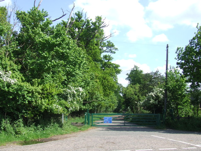
Image: © Malc McDonald Taken: 25 May 2013
The blue sign on the gate indicates that the track is a cycle route, the Ingrebourne Way. The Ingrebourne Way starts here and heads southwards towards the River Thames.
Images are licensed for reuse under creativecommons.org/licenses/by-sa/2.0
Image Location
Latitude
51.621929
Longitude
0.229287