Mayfield Baptist Chapel
Introduction
The photograph on this page of Mayfield Baptist Chapel by Dave Spicer as part of the Geograph project.
The Geograph project started in 2005 with the aim of publishing, organising and preserving representative images for every square kilometre of Great Britain, Ireland and the Isle of Man.

There are currently over 7.5m images from over 14,400 individuals and you can help contribute to the project by visiting https://www.geograph.org.uk
Mayfield Baptist Chapel
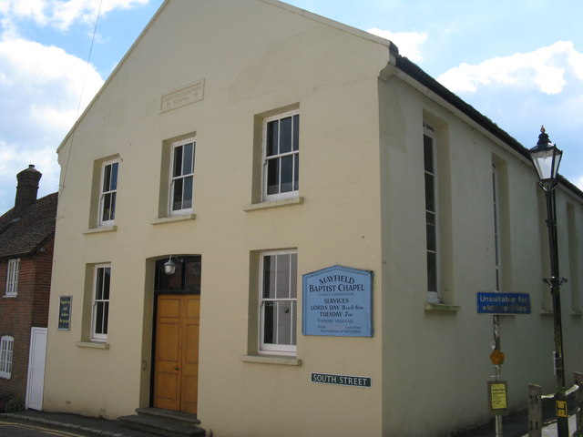
Image: © Dave Spicer Taken: 25 May 2013
On the corner of South Street and West Street the chapel dates back to 1813 according to the plaque above the middle window and was called 'Particular Baptist Chapel'.
Images are licensed for reuse under creativecommons.org/licenses/by-sa/2.0
Image Location
Latitude
51.019635
Longitude
0.258305