BMX track, Lambeg
Introduction
The photograph on this page of BMX track, Lambeg by Albert Bridge as part of the Geograph project.
The Geograph project started in 2005 with the aim of publishing, organising and preserving representative images for every square kilometre of Great Britain, Ireland and the Isle of Man.

There are currently over 7.5m images from over 14,400 individuals and you can help contribute to the project by visiting https://www.geograph.org.uk
BMX track, Lambeg
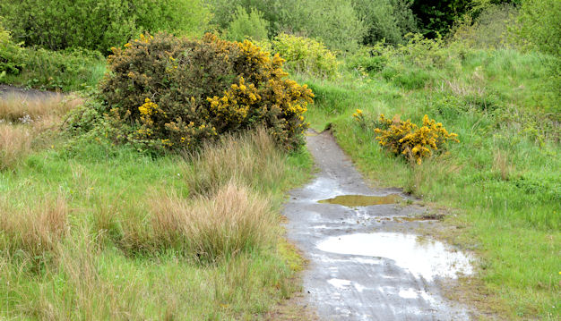
Image: © Albert Bridge Taken: 27 May 2013
To the best of my memory Lisburn Borough Council built this BMX track, at what is now the Bell’s Lane amenity area, more than 30 years ago when it was one of the first (if not the first) in NI. I haven’t seen it in use in recent years so it might be a former BMX track. Now a popular place to walk the dog. Image shows it after rebuilding.
Images are licensed for reuse under creativecommons.org/licenses/by-sa/2.0
Image Location
Latitude
54.534345
Longitude
-6.027357