LibLab Paddy Wack
Introduction
The photograph on this page of LibLab Paddy Wack by MDS as part of the Geograph project.
The Geograph project started in 2005 with the aim of publishing, organising and preserving representative images for every square kilometre of Great Britain, Ireland and the Isle of Man.

There are currently over 7.5m images from over 14,400 individuals and you can help contribute to the project by visiting https://www.geograph.org.uk
LibLab Paddy Wack
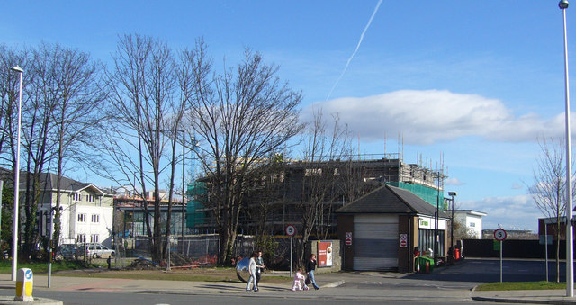
Image: © MDS Taken: 26 Feb 2007
Is this the Library? If so I am not sure which Council is responsible. The Politically Blue High Rise Crane hovers off the edge of Port Marine above the giant piling sheet based concrete.
Images are licensed for reuse under creativecommons.org/licenses/by-sa/2.0
Image Location
Latitude
51.485753
Longitude
-2.766413