Bridge over Knar Burn off A689 near Knarsdale
Introduction
The photograph on this page of Bridge over Knar Burn off A689 near Knarsdale by Ben Brooksbank as part of the Geograph project.
The Geograph project started in 2005 with the aim of publishing, organising and preserving representative images for every square kilometre of Great Britain, Ireland and the Isle of Man.

There are currently over 7.5m images from over 14,400 individuals and you can help contribute to the project by visiting https://www.geograph.org.uk
Bridge over Knar Burn off A689 near Knarsdale
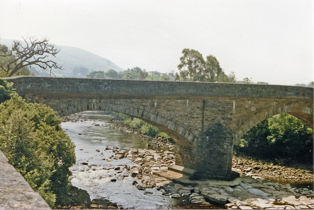
Image: © Ben Brooksbank Taken: 27 Jun 1986
View SE, just off the A689 along the valley of the South Tyne River. [Confirmation, please?]
Images are licensed for reuse under creativecommons.org/licenses/by-sa/2.0
Image Location
Latitude
54.871716
Longitude
-2.502976