Dunfermline Public Park
Introduction
The photograph on this page of Dunfermline Public Park by Paul McIlroy as part of the Geograph project.
The Geograph project started in 2005 with the aim of publishing, organising and preserving representative images for every square kilometre of Great Britain, Ireland and the Isle of Man.

There are currently over 7.5m images from over 14,400 individuals and you can help contribute to the project by visiting https://www.geograph.org.uk
Dunfermline Public Park
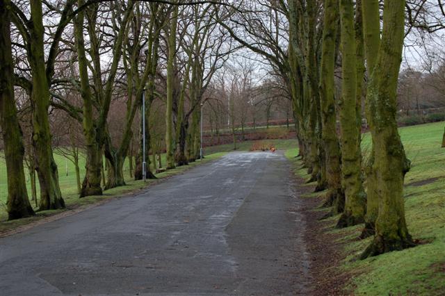
Image: © Paul McIlroy Taken: 25 Feb 2007
This used to be the main driveway through the park until 1988 when the dual- carriageway, Image was built and the drive was cut in two. The embankment at the far end of the drive is the dual-carriageway.
Images are licensed for reuse under creativecommons.org/licenses/by-sa/2.0
Image Location


Leaflet Map data © OpenStreetMap
Latitude
56.071081
Longitude
-3.449553