North end of Sandringham Crescent, Worksop
Introduction
The photograph on this page of North end of Sandringham Crescent, Worksop by Richard Vince as part of the Geograph project.
The Geograph project started in 2005 with the aim of publishing, organising and preserving representative images for every square kilometre of Great Britain, Ireland and the Isle of Man.

There are currently over 7.5m images from over 14,400 individuals and you can help contribute to the project by visiting https://www.geograph.org.uk
North end of Sandringham Crescent, Worksop
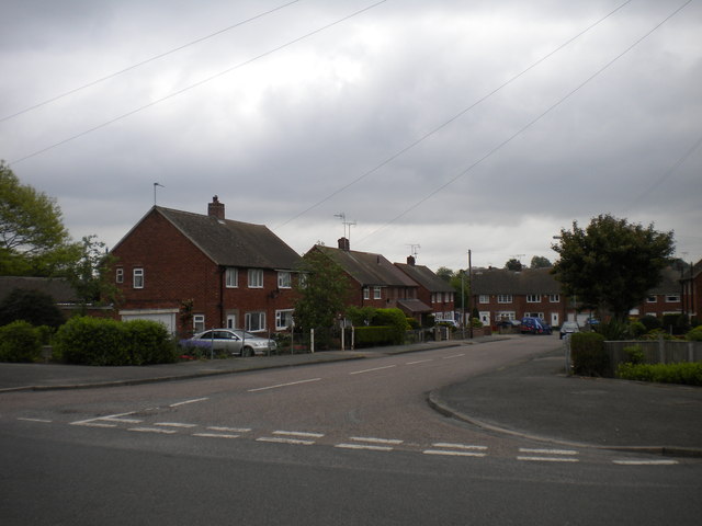
Image: © Richard Vince Taken: 21 May 2013
Sandringham Crescent is one of several roads off Prince Charles Road which are named after royal residences. While the houses lining it are apparently more pleasant than the flats in Image, it is still perhaps an inappropriate naming scheme for a council estate.
Images are licensed for reuse under creativecommons.org/licenses/by-sa/2.0
Image Location
Latitude
53.323297
Longitude
-1.131162